


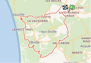

61 km | 72 km-effort

Utilisateur


Application GPS de randonnée GRATUITE
 SityTrail
IGN / Instituts géographiques
SityTrail World
Le monde est à vous
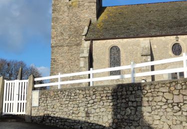
Randonnée V.T.T. de 21 km à découvrir à Normandie, Manche, La Hague. Cette randonnée est proposée par tracegps.
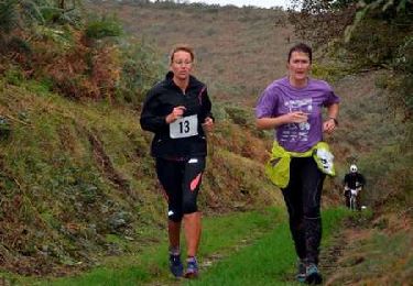
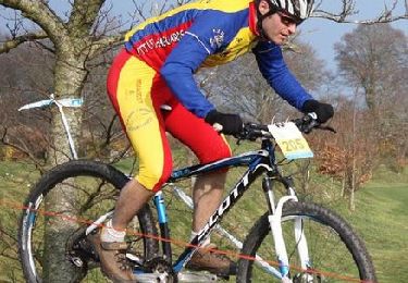
Parcours du Run and Bike organisé par la CCH et LES HAGUARDS. Circuit composé de terrains divers et variés et proposant de très beaux paysages. Les concurrents ont beaucoup apprécié le parcours qui est à l'image de ce que propose "LES HAGUARDS" lors de leurs différentes manifestations. Les Haguards vous invitent à venir les rejoindre les dimanche matin à 9h dans un rayon de 20 km autour de Cherbourg afin de découvrir de fabuleux sentiers dans une ambiance sportive et conviviale... Facebook: Vtt Les Haguards - http://leshaguards.fr/


Vélo
Marche
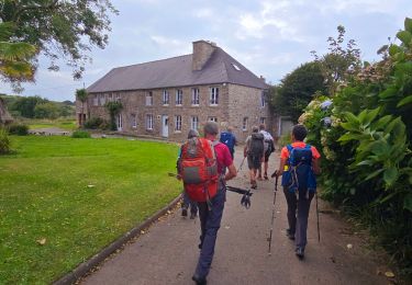
A pied

Marche
Marche
Marche
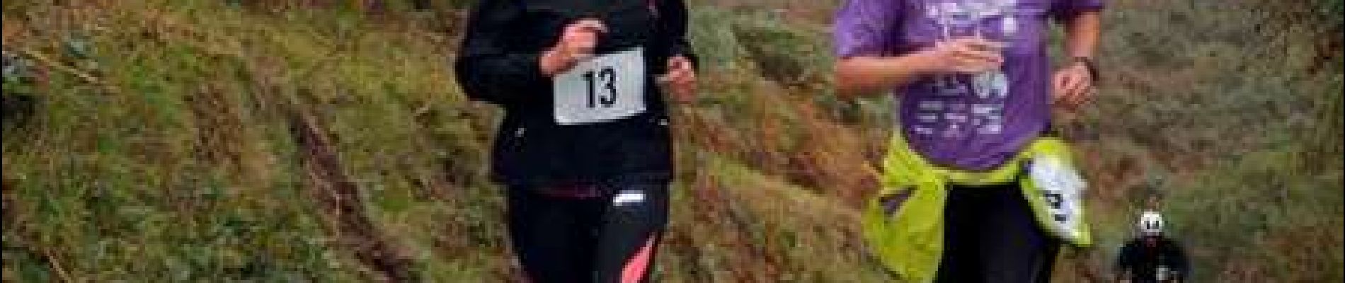
Course à pied
V.T.T.